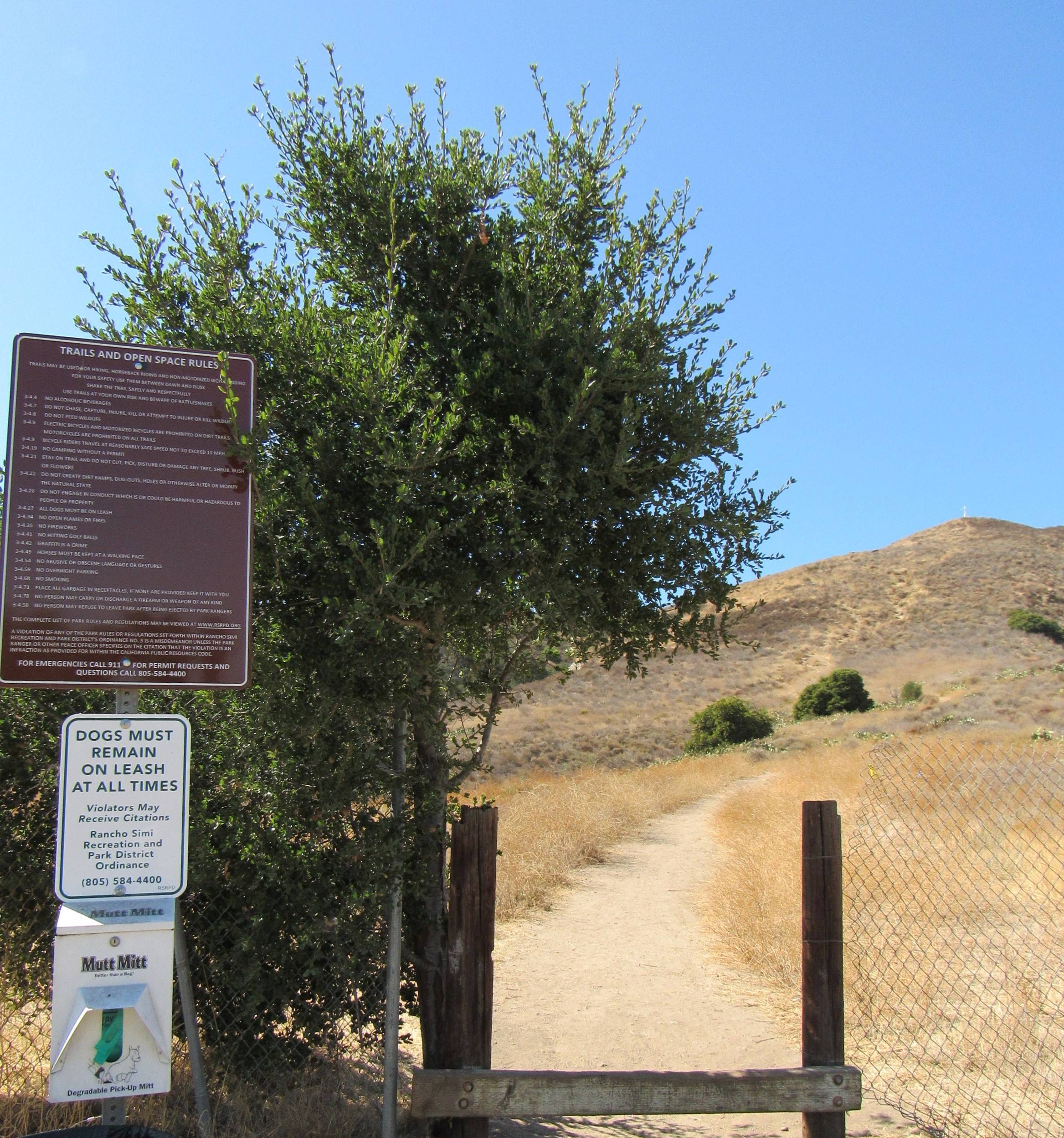
Mt. McCoy Trail
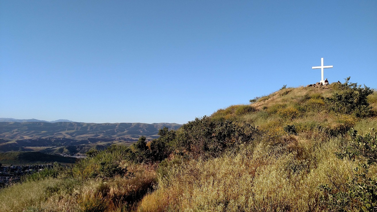
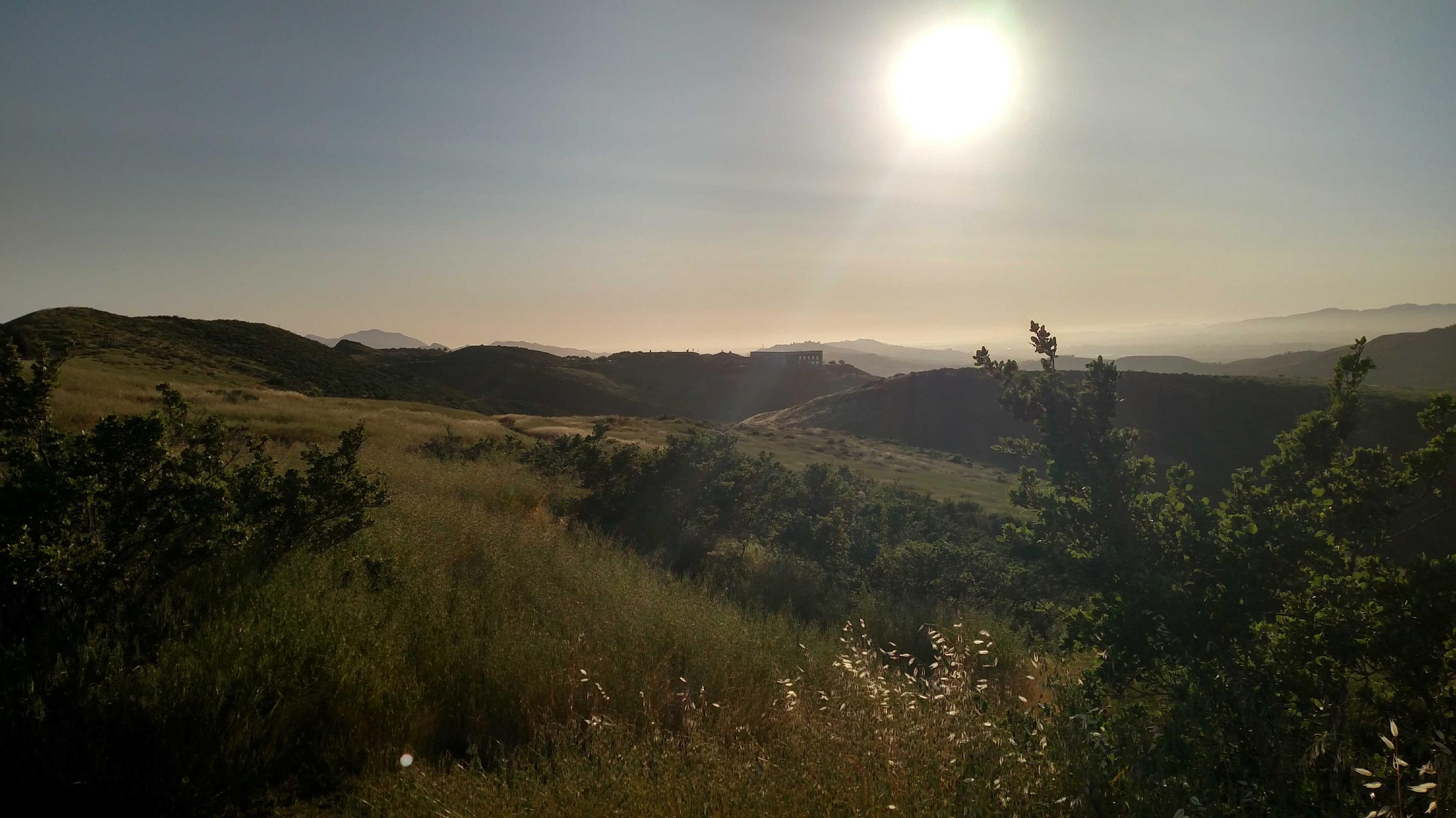
| Mt. McCoy is the hill with the large cross on it at the western end of Simi Valley. Beginning at the open space on the outside of the curve, the trail extends to the south-southeast across grasslands along the base of the hills. After crossing a drainage bottom, the trail begins to climb via many switchbacks through coastal sage scrub and then through chaparral. Each northern switchback abuts up against a steep oak studded canyon. The trail comes to a saddle by a knoll and then climbs through nine more switchbacks, terminating just south of the cross. The trail is 1.2 miles long and climbs 500-600 feet to the cross. Location The trail is located in the southwest section of Simi Valley. Access the trail via Los Amigos Ave. or the intersection of Washburn St. and Los Amigos Ave. |
Trail Safety Tips
Map (3D)
Map (Satellite)
Trail Info