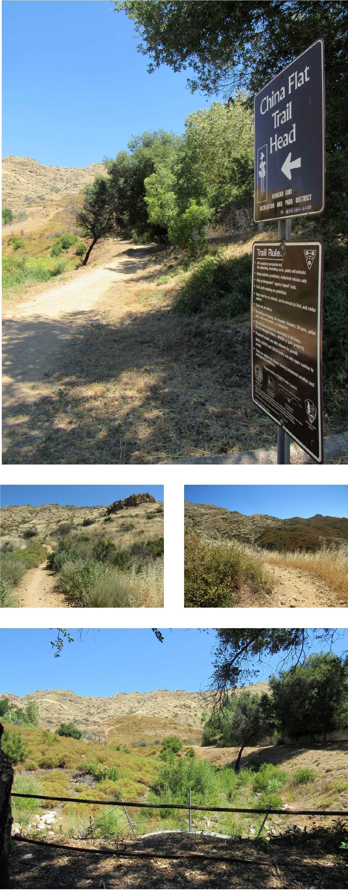
China Flat Trail
|
The trail uses an old ranch road to and from China Flat. It begins at an elevation of approximately 1400’. After about the first quarter of a mile up the remainder of the hike to China Flat is under the jurisdiction of the National Park Service. The trail also extends east and connects with the Rock Ridge East Trail. At its high point (2179’) of the trail is the remnant of an old ranch gate. From that point the trail descends to China Flat. The trail from Lindero Canyon Road is roughly 1.3 miles.
Location
The trail is located in the northern portion of Oak Park. The trail has two access points: One from Lindero Canyon Rd. and the other from King James Ct.
|
Trail Safety Tips
Map (3D)
Map (Satellite)
Trail Info