Rock Ridge Trail
|
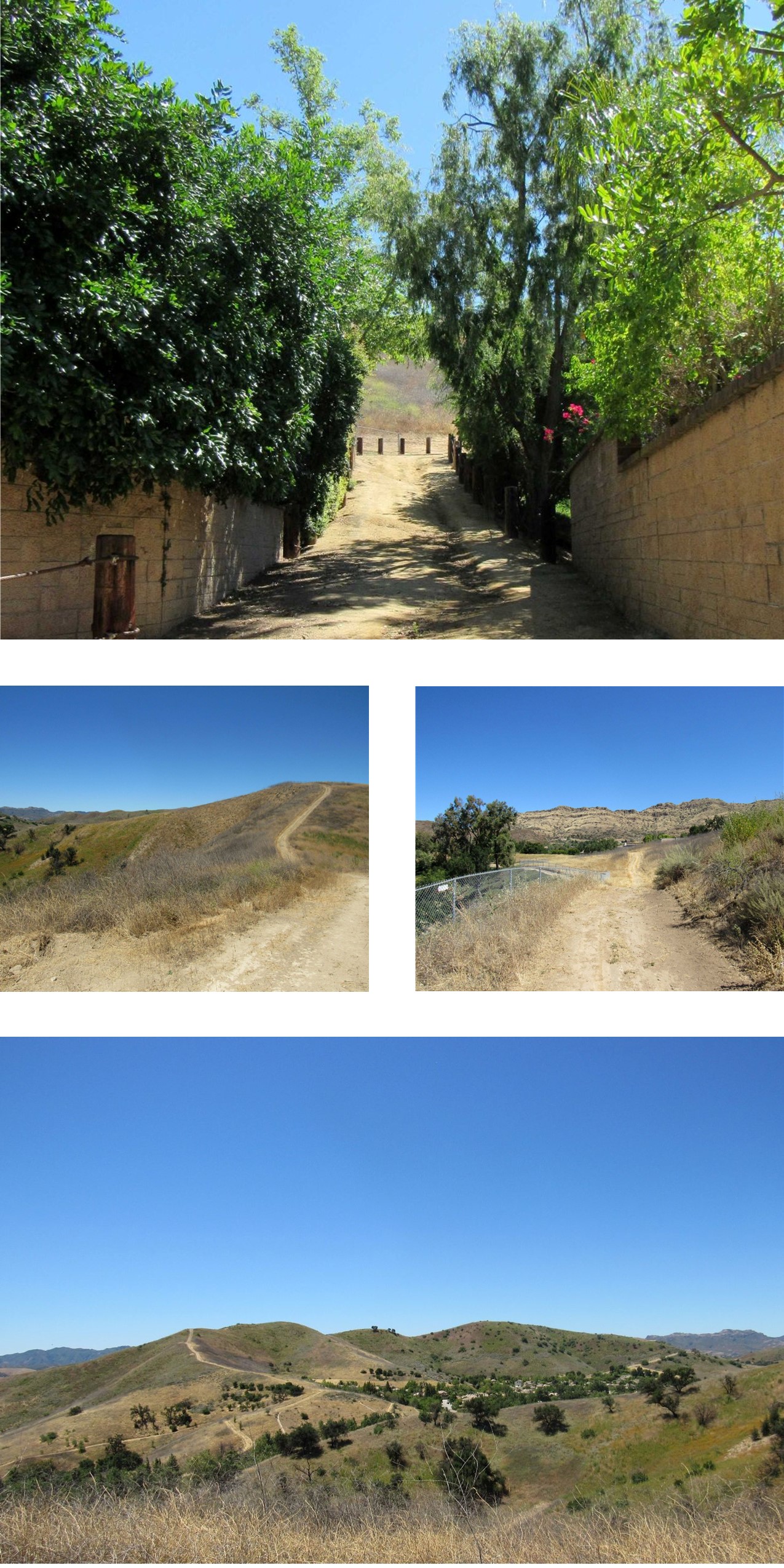
From the Oak Canyon Community Park Trail Connector (pond area), the trail runs northwesterly along the top of a ridge. The trail starts with an extremely steep section followed by other moderately steep sections after achieving the top of the ridge. Views from the trail are wonderful, and a round trip for a hiker is roughly 3 miles.
Location
The trail is located north of Kanan Rd. and east of Lindero Canyon Rd. Three trailheads allow access from Lindero Canyon Rd., Golden Eagle Dr. & Golden Nugget Way. This trail connects with the Oak Canyon Community Park Trail next to the Oak Park Community Center and pond area.
Warning
Portions of this trail have extremely steep terrain - Please take this into consideration and use the utmost caution when utilizing this trail.
|
Trail Safety
Map (3D)
Map (Satellite)
Trail Info